Gairaut Waterfall
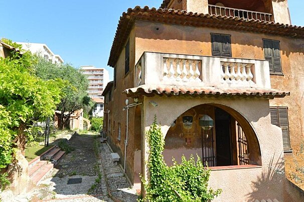
The Gairaut waterfall was constructed in the 19th century alongside a wooden alpine chalet to celebrate the completion of the Vésubie canal.

© SeeNice.com

© SeeNice.com
From Aspremont to Mont Chauve and back
This circuit starts from Aspremont, one of the famous “perched villages” of the Cote d’Azur, and climbs up to Mont Chauve at 853m to give spectacular views of the Baie des Anges and the “collines”, or hills, surrounding Nice.
Although not extremely tough, the trail takes in all sorts of terrain; from rocky singletrack to set a trail runner’s heart a-flutter, to open plateaus filled with wild flowers and butterflies.
IGN map 3742OT is recommended for this walk

The Gairaut waterfall was constructed in the 19th century alongside a wooden alpine chalet to celebrate the completion of the Vésubie canal.

This priory owned by Father Lemerre was converted into a museum at the end of the Second World War and houses his collection of objets d'art from the late Middle Ages and early modern period including French furniture, glass, sculptures and religious paintings.

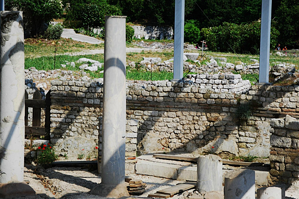
This museum moved to its current location in 1989 though it has been open since 1960. It houses a variety of objects, from ancient times to the Middle Ages, including the Roman town of Cemenelum.

A lovely 3 hectares park in Nice, very close to the Matisse Museum and the Cimiez Monastery, with ancient olive trees.

A small collection of some of Matisse's works and items from his own personal collection and that of his descendants are housed in an impressive 17th century Genoese mansion.

This 16th-century Franciscan monastery includes a church, a 17th-century chapel and a small museum explaining the Franciscan way of life throughout the centuries.

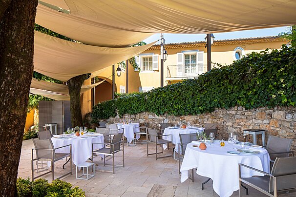
Michelin-starred La Bastide Saint-Antoine offers a refined retreat near Cannes, where chef Jacques Chibois creates inspired Provençal cuisine. Set in a stunning country house with lush gardens and panoramic sea views, it’s the perfect blend of gastronomy, elegance, and tranquillity.

In a Regency-style dining room decorated with magnificent 18th century woodwork, Jean-Denis Rieubland proposes two menus, "Découverte" and "Chantecler".

La Table de Pierre offers refined, garden-led cuisine by Chef Emmanuel Lehrer in a romantic setting with views over the estate.

Laurent Paccini is the chef at this Relais & Châteaux hotel and brings the food of different cultures to his excellent Mediterranean restaurant in Saint-Paul de Vence.

Enjoy refined regional cuisine in an iconic setting featuring original works by Picasso, Matisse, Miró and more.

Michelin-starred chef, Didier Anies, recognised as Meilleur Ouvrier de France in 2000, has created a gourmet cuisine at this restaurant; one which is unfussy, full of flavour and low key yet elegant.

Experience the French Riviera your way with 212 yachts, using one of their sample itineraries or with a specialised itinerary created just for you, based on what you like and don't like, as well as their own expertise.

Enjoy a wonderful, peaceful and fume-free journey along the French Riviera on a solar powered motor boat with a professional skipper.

Based in Nice, motorbike and scooter rental so you can explore the South of France.

This company is based in Nice and offers a wide range of road bikes.

Take a trip onboard this luxury yacht along the Riviera to any destination of your choosing.

Enjoy a wonderful, peaceful and fume-free journey along the French Riviera on a solar powered motor boat with a professional skipper.
The route starts off just beside the childrens playpark and football pitch that you pass when entering the village. Wooden hiking signs point the way to Mont Chauve via a path that runs alongside some allotments and comes out on to a long driveway. When the driveway turns into a gravel path look to your right for another hiking signpost - this is where you’ll pick up the start of the trail.
Twisting uphill along a rocky path you’ll quickly gain enough height to be looking down on Aspremont from above. After 20 minutes or so the path flattens out onto a plateau where there are often goats grazing and you can see the city of Nice in the distance.
Take the path to your left up to the old fort if you want to reach the highest point of the hike; the fort itself is nothing spectacular and a bit disappointing, don’t be expecting turrets or drawbridges, but the hike up there is worth the effort anyway for the fantastic view.
Once you’ve started the descent look out for the turn-off to La Baisse de Guigo, it is signposted about halfway down. Follow this road until just before it bends round to the right, look to your left and you’ll see another signpost pointing to a path that scoots off into the bushes.
La Baisse de Guigo is another flattish meadowy area and is great for wildlife spotters - the lavender and other wild flowers make it a haven for birds, bees and butterflies. It is also hunting land though, so take care during September to December. Don’t panic and dive for cover every time you hear gunfire though, there is a military training facility nearby and you can often hear loud bangs from the shooting range.
After you come through the Baisse de Guigo keep a keen eye out for yellow paint markers on trees and/or rocks - they are not very obvious and there are a few route deviations where you could easily end up on the wrong trail. The correct route makes a bit of a dog leg back up towards Aspremont.
This final stretch is downhill, quite steep and very rubbly underfoot - if you are as prone to stumbling as yours truly then hiking poles might not be a bad idea. You’ll pass through a shady forest area before coming back to the driveway from where you started.
I definitely recommend taking the bus to Aspremont rather than driving; parking is limited in this small village and the bus stops right in the centre, just a few minutes from the start of the hiking trails. For just 1.50€ each way, the bus is a cheap and convenient option. You can take the 62 from JC Bermond in Nice centre, or the 76 from Place de la Fontaine.
Find out all about what is happening in Nice and how to make the most of your time here. The latest news, reviews of fun activities, fabulous beaches, current events and the trendiest restaurants, as well as interviews with leading locals, insider's guides and our top choices for things to do, see and experience in this cosmopolitan city.
See allLatest News & ReviewsYou will not be short of entertainment in this beautiful French Riviera town throughout the year. The most popular public events take place along the Promenade des Anglais, including the Carnival in February, the Bastille celebrations in July and the Nice marathon in November. There are also plenty of live music and cultural festivals.
See allUpcoming Events