Villefranche Sur Mer to Cap de Nice
A rugged coastal footpath with swimming spots along the way
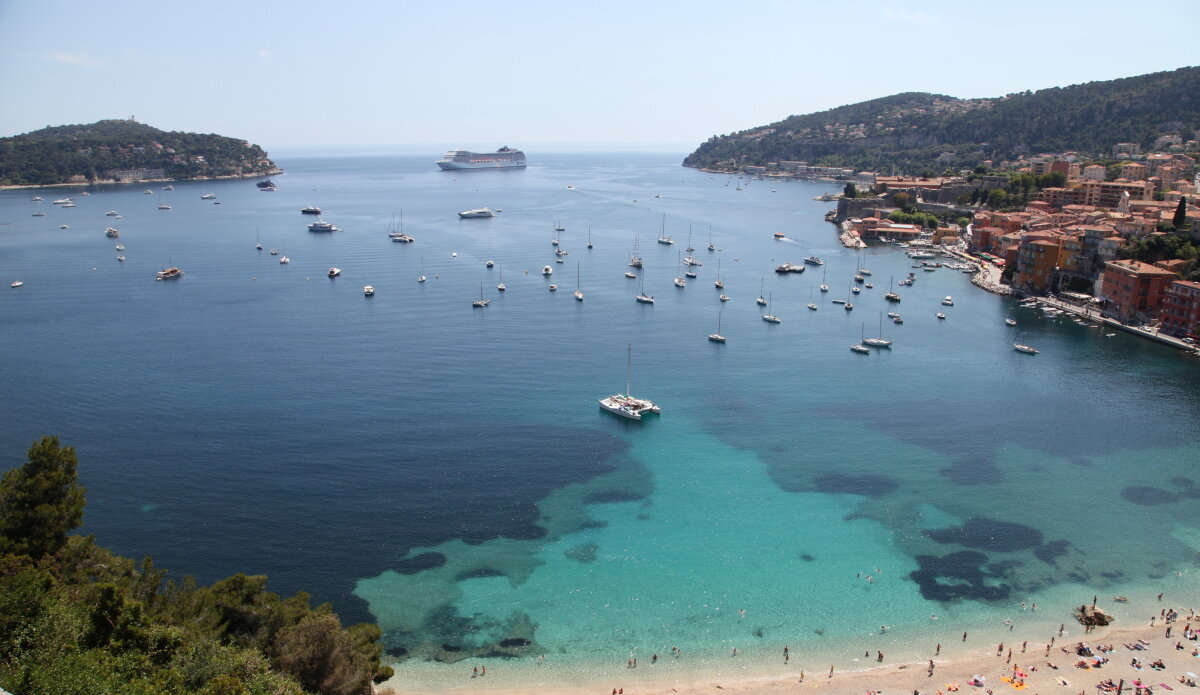
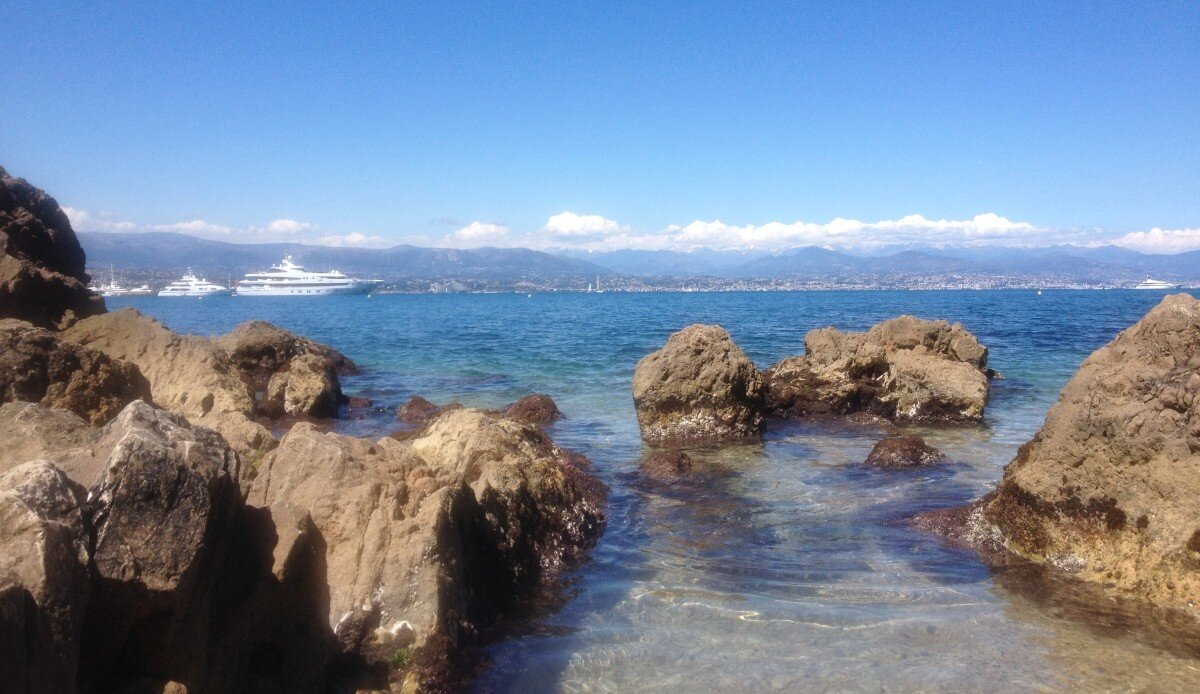
This rugged coastal footpath runs from Villefranche-Sur-Mer all the way to Nice, providing excellent views of the harbour and lots of opportunities for secluded swimming and sunbathing along the way.
The route starts at Le Lazaret in Villefranche-Sur-Mer, to find it just head west from the Quai/Old Town area, follow the footpath around the citadel and continue along past the Port de la Darse. You’ll come to a small private road which is open to walkers, the Sentier Littoral is signposted from the end of this road.
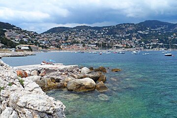
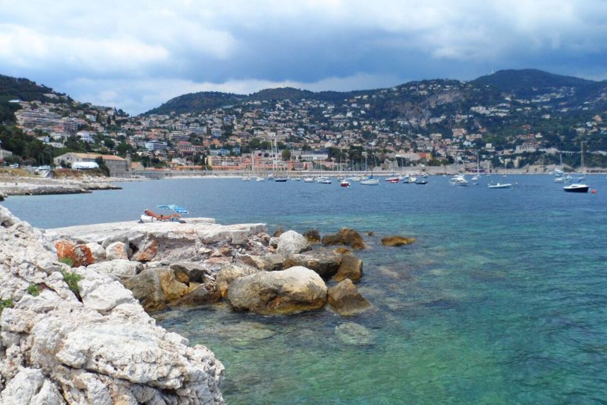
The route starts with a rocky section that juts out into the sea and is popular with elderly locals doing a spot of fishing or just enjoying the view. All along this trail you’ll find that the path meanders up and down, twisting its way around the headland, following steps that have been built into the rock. There are often ladders leading down into the water and flat rocks that make perfect natural diving boards - the area is unsupervised so swimming is at your own risk.
Towards the end of the walk you’ll come to the Batterie de la Rascasse, which was occupied by the Italian and German armies during WWII following the scuttling of the French fleet in the port of Toulon. It was disarmed in 1945 and has not been in use since.
Once you’ve passed the Batterie you’ll arrive at the excellently-named Pointe des Sans Culottes (Point of No Pants). There is a final steep climb up to Boulevard Princesse Grace de Monaco at Cap de Nice; the narrow staircase meanders up through a thick undergrowth of cacti, olive trees, fig trees and colourful flowers. The view back down to the bay is quite special.
Although one of the shorter Sentier Littoral hikes, this trail is not as easy as some of them - it rolls up and down following the terrain of the cliffs with lots of steps and rocks to navigate. Anyone of reasonable agility will be fine but it’s certainly not pushchair or wheelchair accessible.
There are apparently plans to link this path to the Cap de Nice / Coco Beach walk, which will make a 3km hike in total. There is no information on when this might happen though, so watch this space for further news.
Distance: 1.4km (from start of hike, add extra km or so to get from Villefranche centre)
Time: 45 minutes to 1 hour
Google Maps: https://maps.google.com/maps?q=http:%2F%2Fwww.mapmyfitness.com%2Froutes%2Fkml%2F492363812%2F
