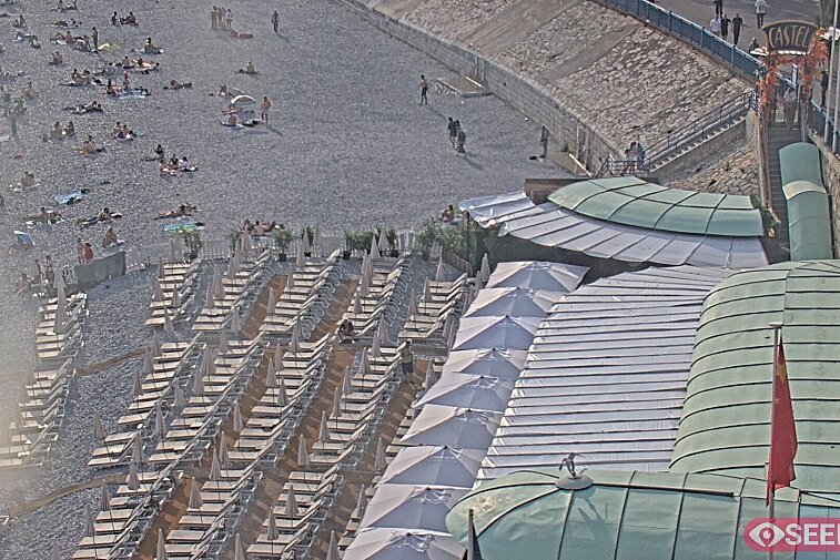
Climbing up high above the coastline from the medieval village of Eze, this short but challenging hike takes you from beach to mountains and back again.
Starting from Eze-Sur-Mer train station, cross over the road and turn right along Avenue de la Liberté, carry on for about 150m until you see a small road heading up to the left - the signpost for Chemin de Nietzsche can be hidden amongst overgrown flowers but this is where you head up towards Eze Village.
A steep one hour climb through pine forests will bring you out near the viewpoint at Eze Village where you’ll be greeted by a wonderful vista of sparkling blue sea and landscaped gardens. The village of Eze is a medieval maze of tiny streets and courtyards that spiral their way up and around a pinnacle, culminating in a ruined fort and an exotic cactus garden at its summit. It is well worth a visit, even if you only go for a quick peek before starting the next section of the hike.
To pick up the next part of the trail walk down to the car park and head for the far end, follow the pavement beside the viaduct and look out for the hiking sign pointing right just before the mouth of the tunnel.
Another sharp ascent brings you high above the busy main road and gives you a new perspective on Eze, you can really see its impressive position as a look-out from here as it towers over the coastline. The past twists away from the village and heads into the mountains; hiking poles are a welcome accessory to help pick your way over the rough and rocky terrain. Once the path reaches a certain height it flattens out and you start to see the mountains of the Vallon de l'Ibac stretching into the distance. Look back towards the coast and you’ll see the peninsulas of Saint Jean Cap Ferrat and Villefranche-Sur-Mer jutting out into the sea.
The terrain becomes more of a scrub land where tropical Mediterranean plants jostle for space alongside more familiar varieties such as cowslip and lavender; it’s unusual not see dozens of colourful butterflies flitting about up here. You’ll know when you reach the top as there’s a nice signpost announcing that you’ve conquered the summit at the grand altitude of 570m - which feels very satisfying when you can look down and see the sea so far beneath you.
The descent is a gentle twisting path down towards the Vallon de l’Ibac, skirting past the Col d’Eze, ignore the signs for the Aire de Parapente and continue straight on to the Sentier de Caricart. The final stretch path takes you back round towards Eze-Sur-Mer along the towering cliffs, where you’ll be rewarded with stunning views as more and more of the coastline reveals itself. The path meets a busy road called the Moyenne Corniche, which you can follow back to Eze Village if you like, although it’s much nicer to cross over and take the Sentier de Savaric immediately opposite; a steep descent through a leafy residential area down to Eze-Sur-Mer.
- Distance: 7KM
- Time: 03:00
- Google Maps: https://maps.google.com/maps?q=http:%2F%2Fwww.mapmyfitness.com%2Froutes%2Fkml%2F501495144%2F